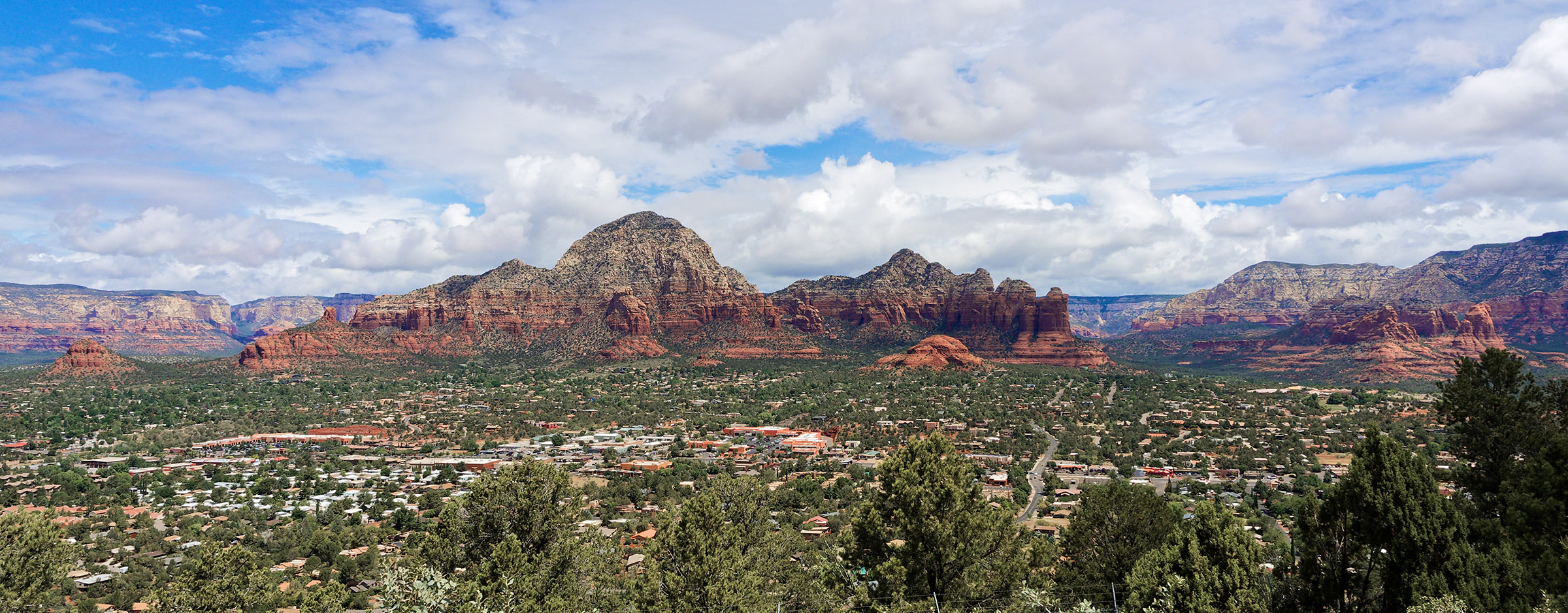
 The Mogollon Escarpment as viewed from Sedona Airport Scenic Overlook. The red cliffs around Sedona are predominantly composed of Schnebly Hill Formation sandstone which formed in shallow warm seas 298 to 273 Ma during the early Permian Period. The red is due to coating of sand in the sandstone by hematite (iron oxide). Coconino Sandstone visibly tops the red cliffs in many areas.
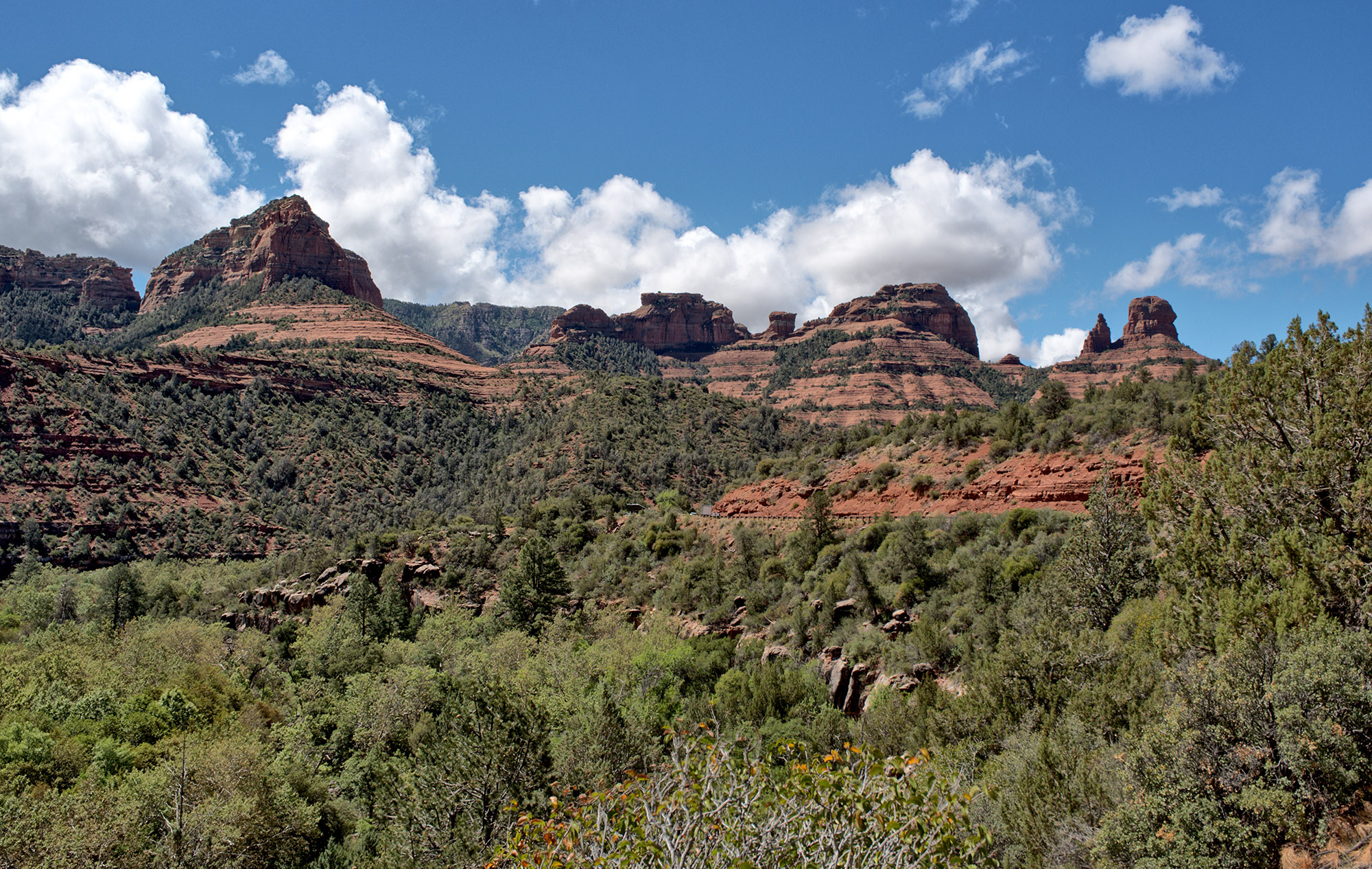 The view of red cliffs bordering Sedona from a pullout along AZ 89A entering Sedona.
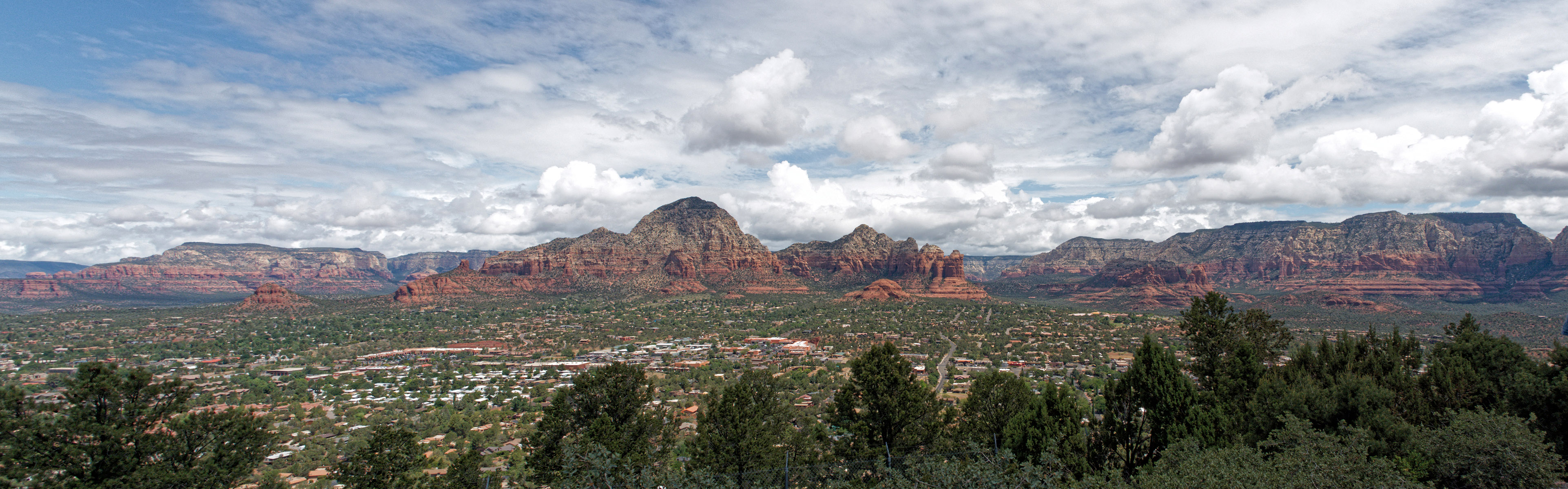
Panorama of Sedona.
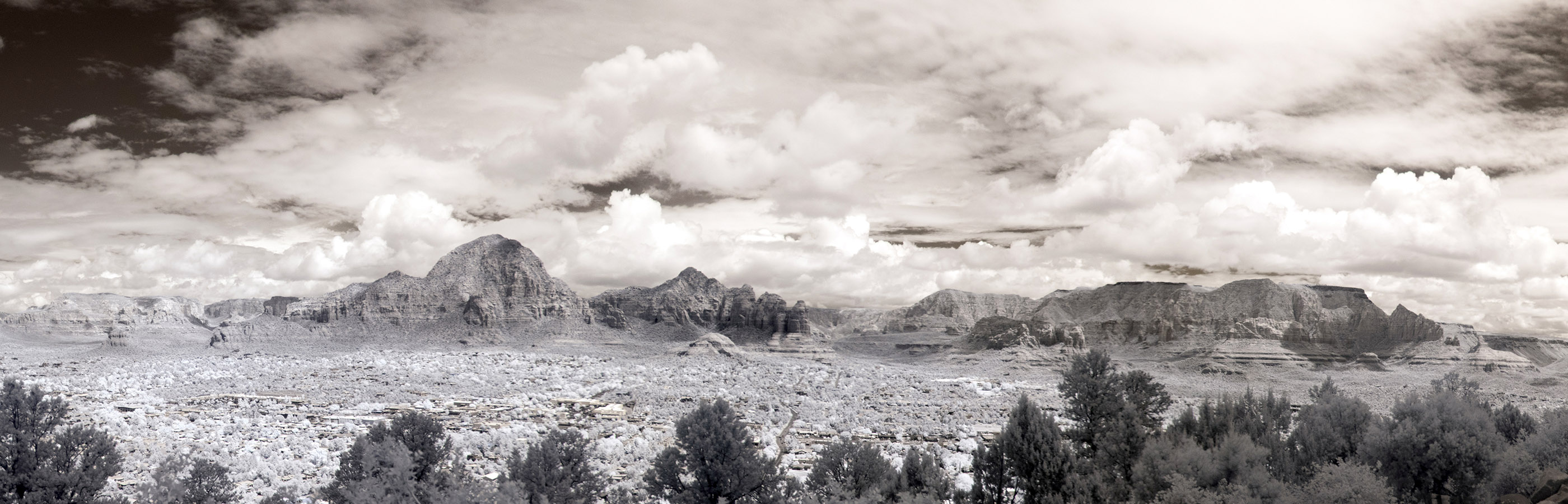 Panorama of Sedona in infrared.
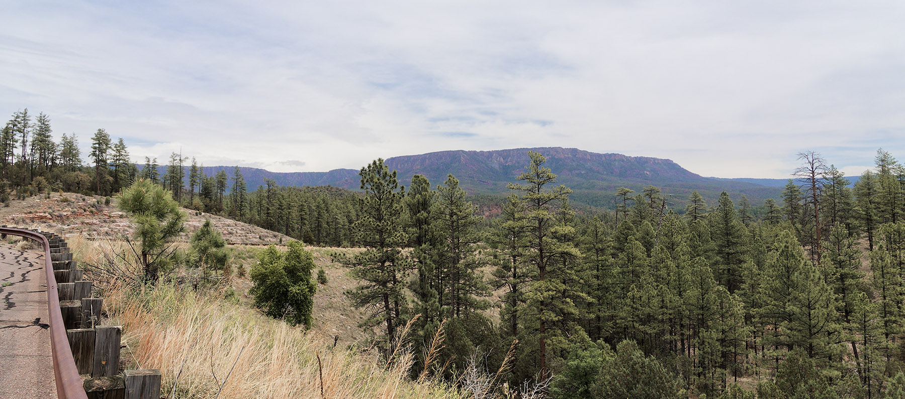 A view of the Mogollon Escarpment in the distance from a pullout on AZ 260 driving East of Payson.
 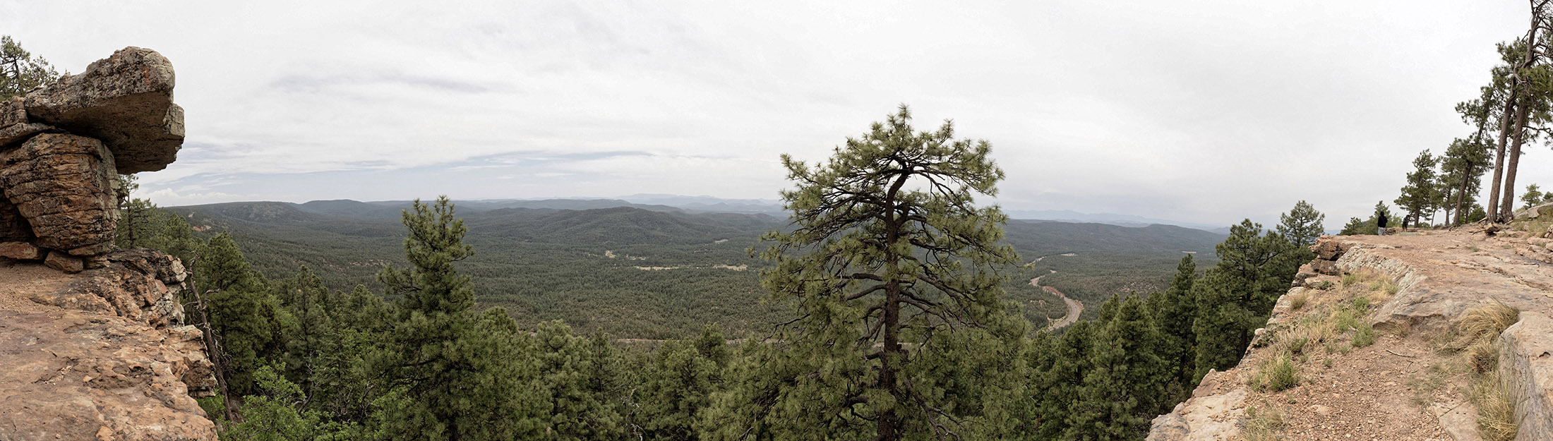 Panorama image from the Mogollon Rim towards Payson at the Rim Lakes Vista Overlook off AZ 260. Coconino Sandstone predominated at the area I stopped.