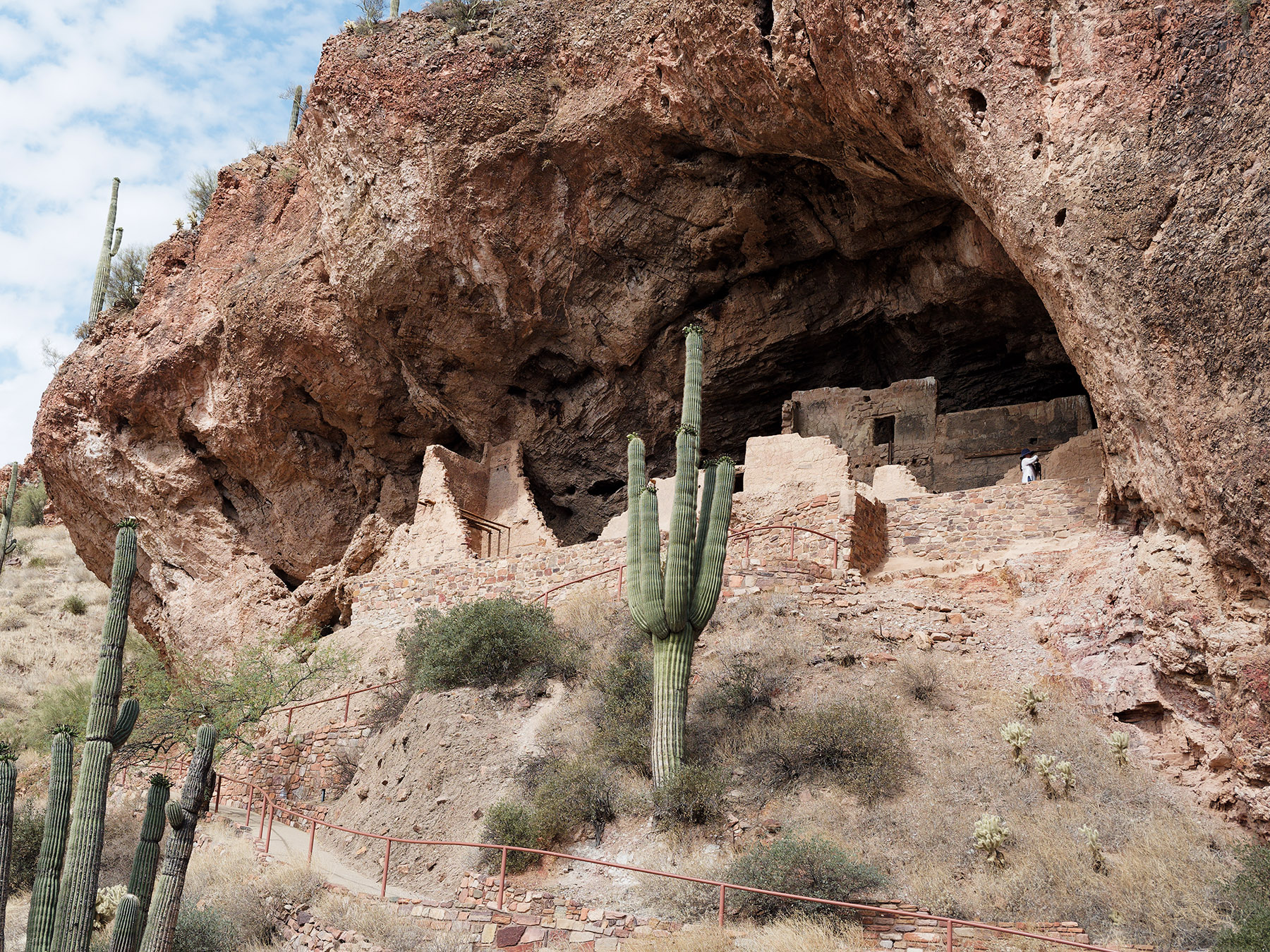
 Lower Cliff Dwellings in recessed area of Dripping Spring Quartzite.
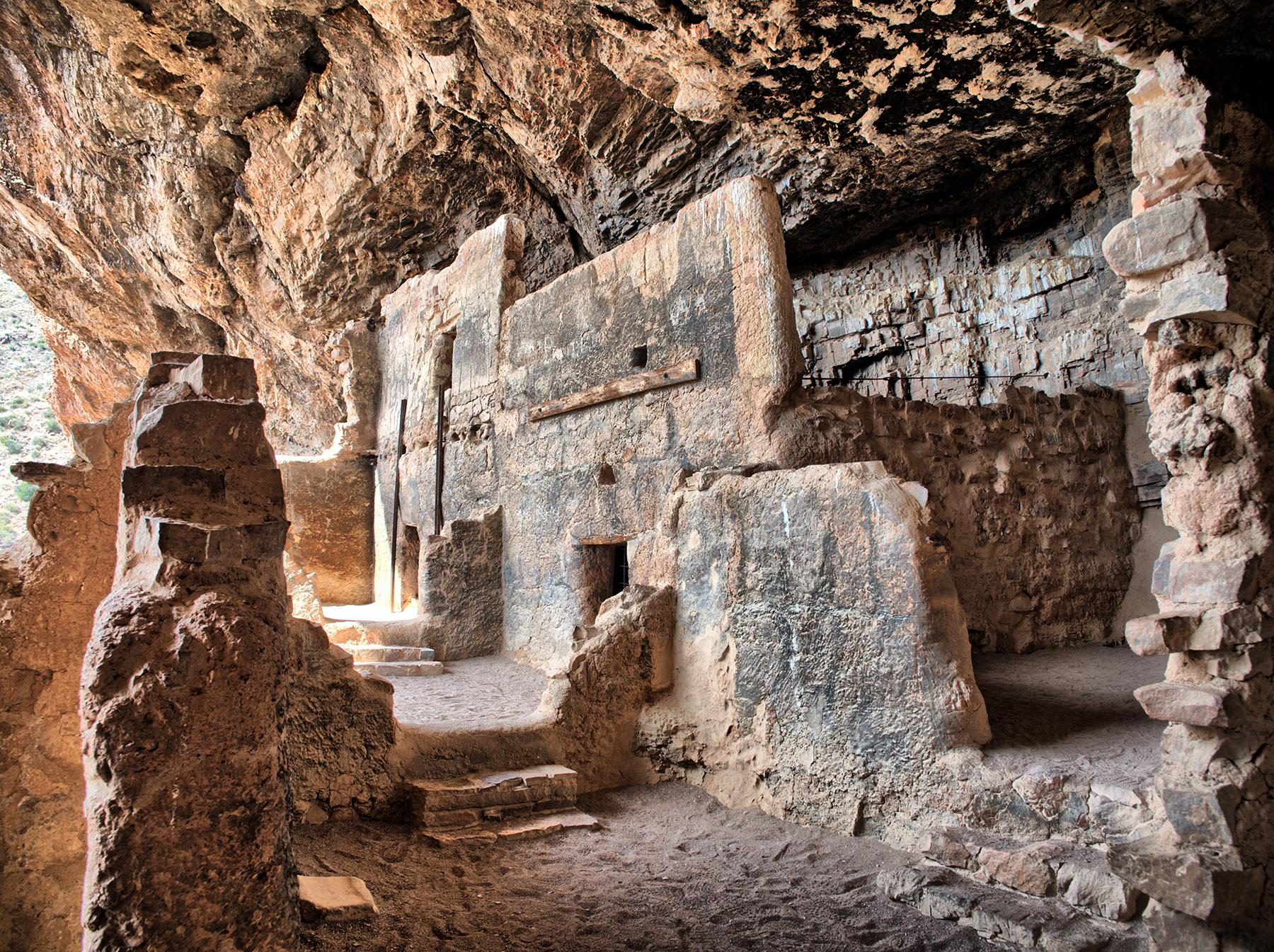 Surviving and partially restored walls and rooms in the Lower Cliff Dwellings
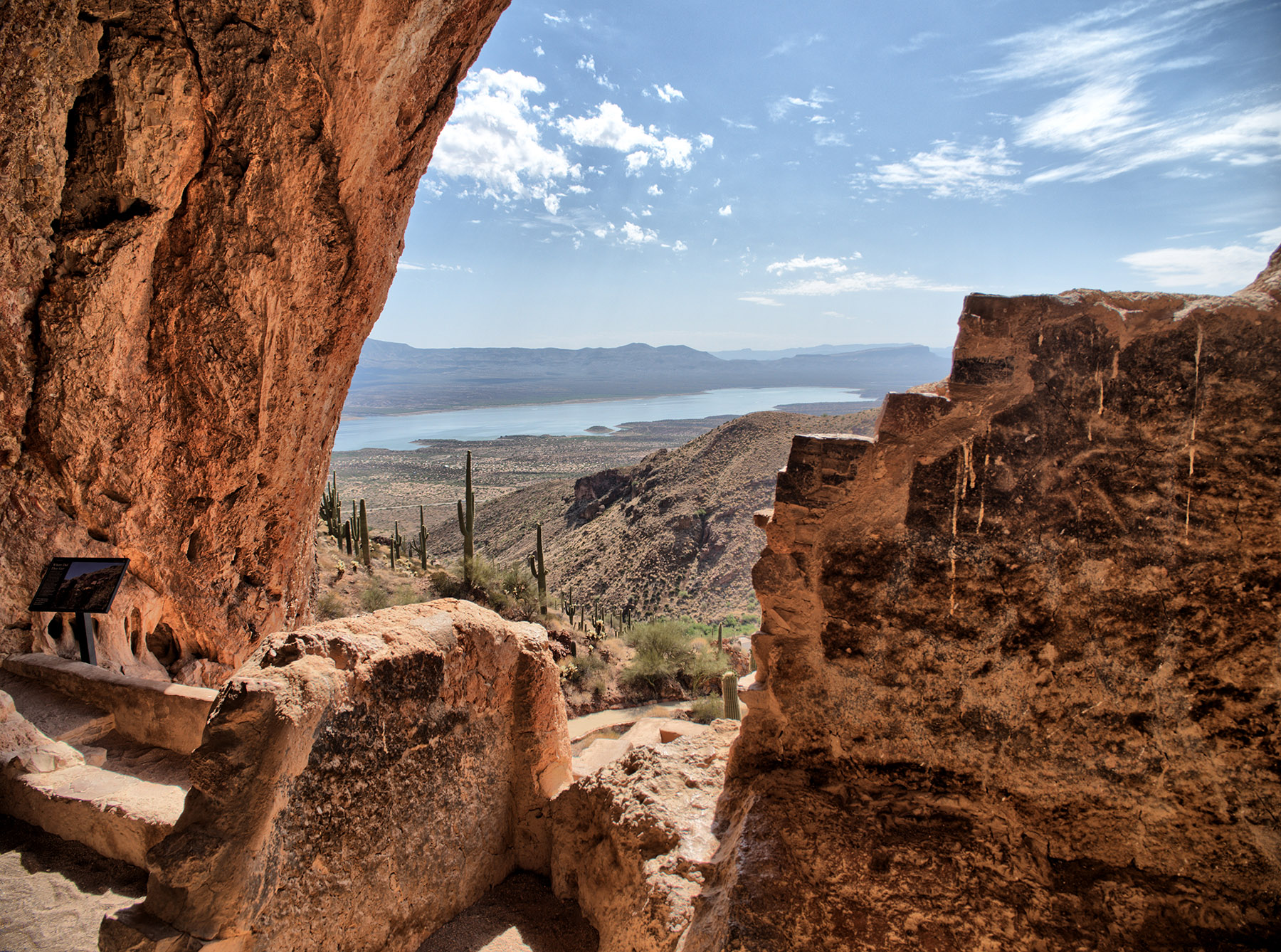 Room with a view in the Lower Cliff Dwellings looking out over the Tonto basin and Lake Roosevelt which was formed by the completion of the Theodore Roosevelt Dam (1911)
 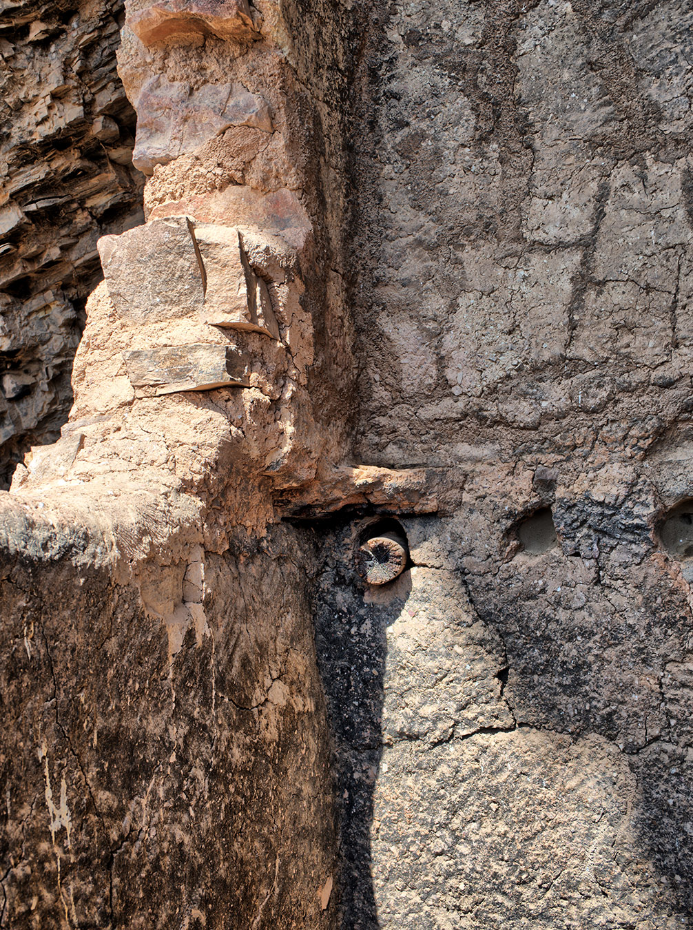 Detail of wall rocks, mortar and supporting wood poles.
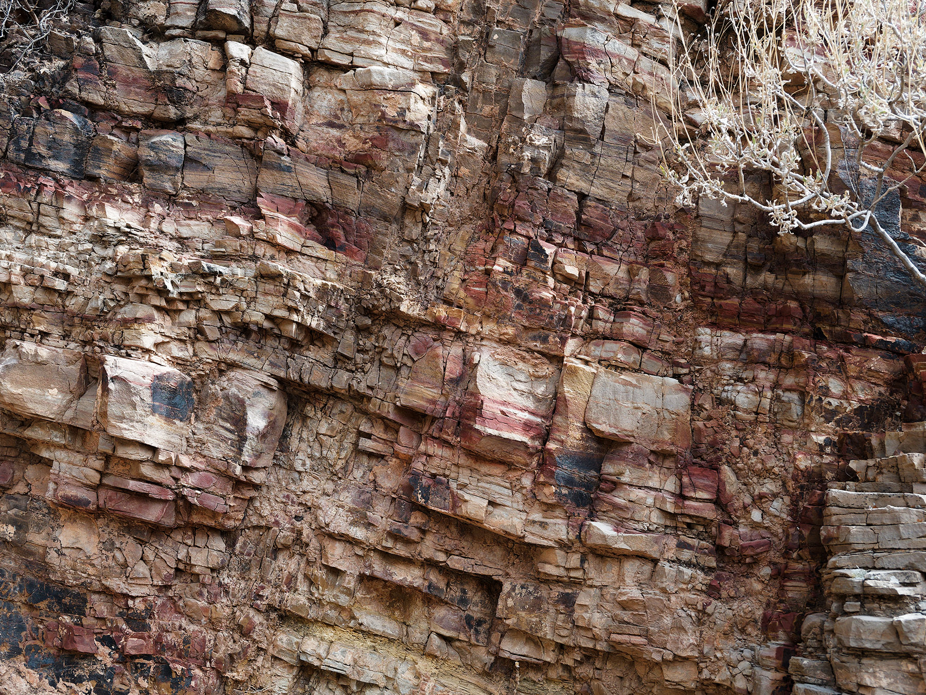 Recessed cliff area showing weathered and fragmented Dripping Spring Quartzite and limestone-derived calcium carbonate and gravel/sand (caliche) between layers and fragments. At this level, the Dripping Spring Quartzite is composed of layers of sandstone and siltstone. The rocks and caliche-containg mortar were major building components of the cliff dwelling walls. Dripping Spring Quartzite is part of the Apache Group formed in the middle Proterozoic eon (~1500 Ma) when much of what now forms Arizona was covered by ocean.
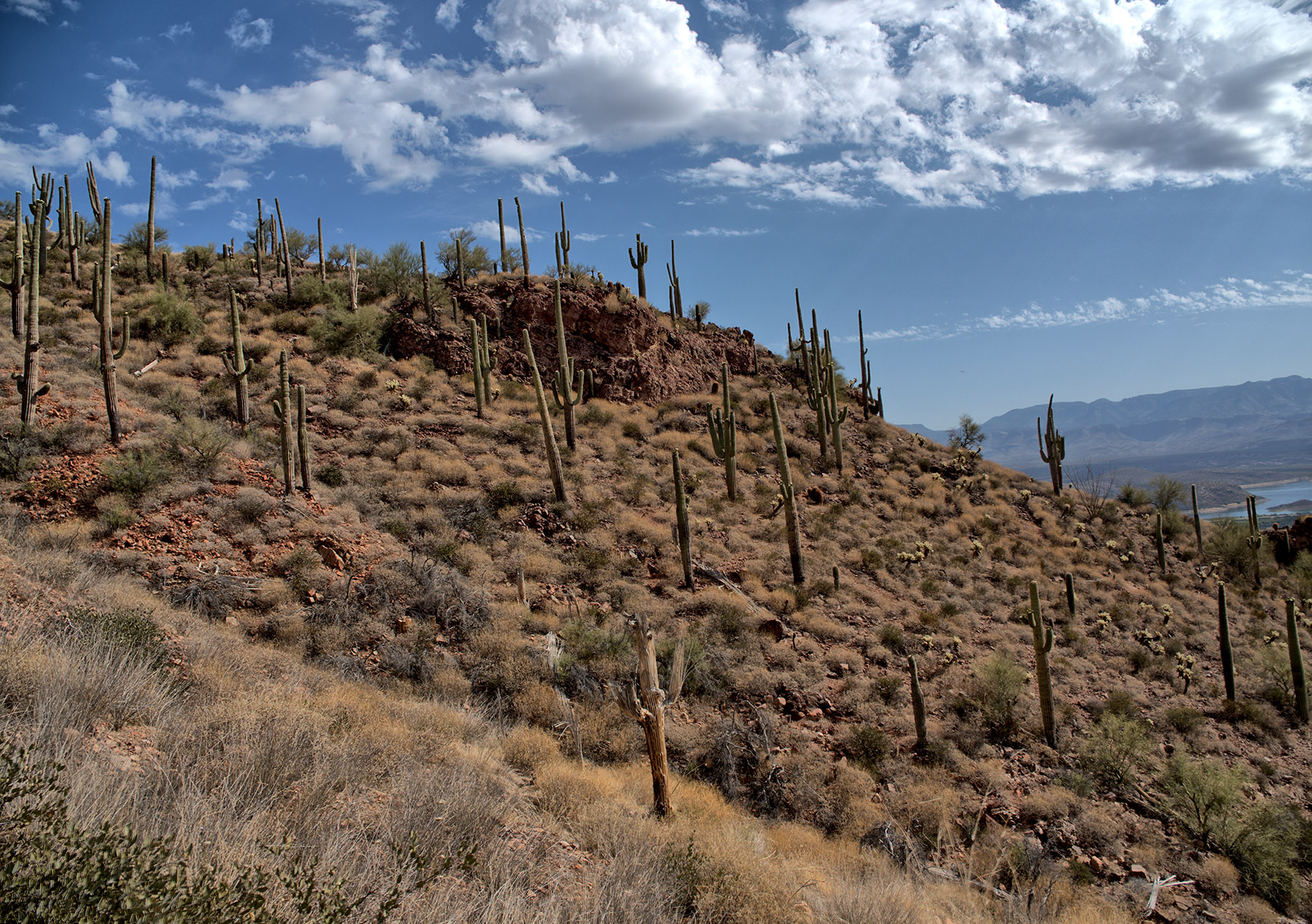
Hillside next to the Lower Cliff Dwellings with Saguaro cacti. The Tonto Basin is in the Transition zone between the Basin and Range Province and the Colorado Plateau Province to the north.
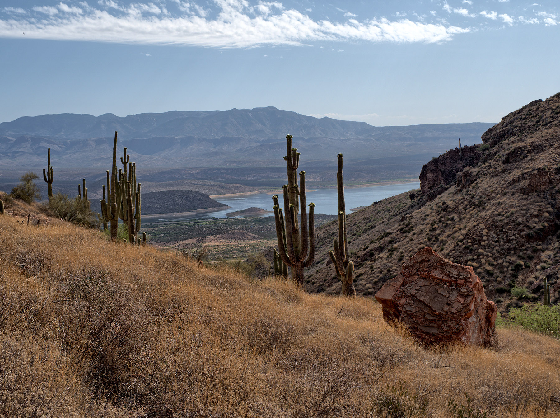 The view East from the Lower Cliff Dwellings looks over the Tonto Basin and Lake Roosevelt to the Sierra Ancha mountains which are formed from similar Middle Proterozoic Apache Group layers.
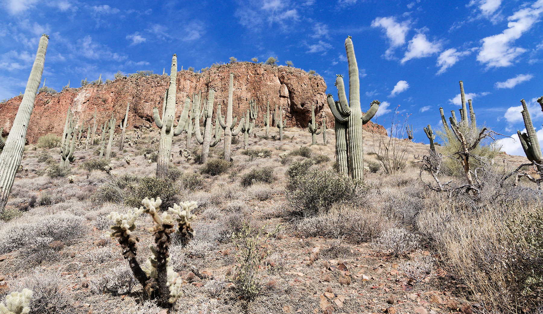 A view towards the top of the cliffs.
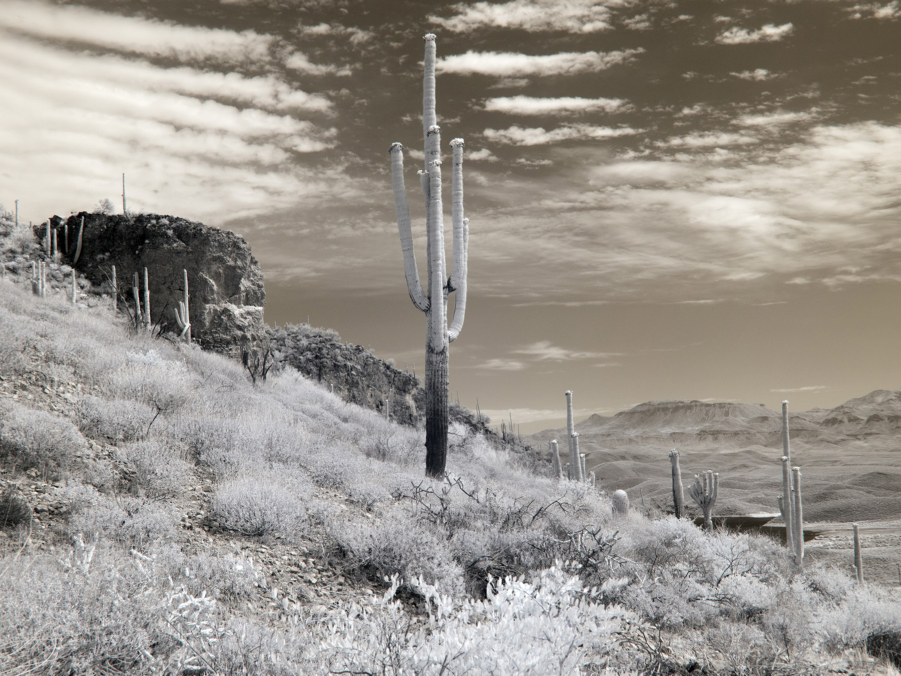 Infrared photo of Saguaro cactus cliff, basin Roosevelt lake and Sierra Ancha in the distance.
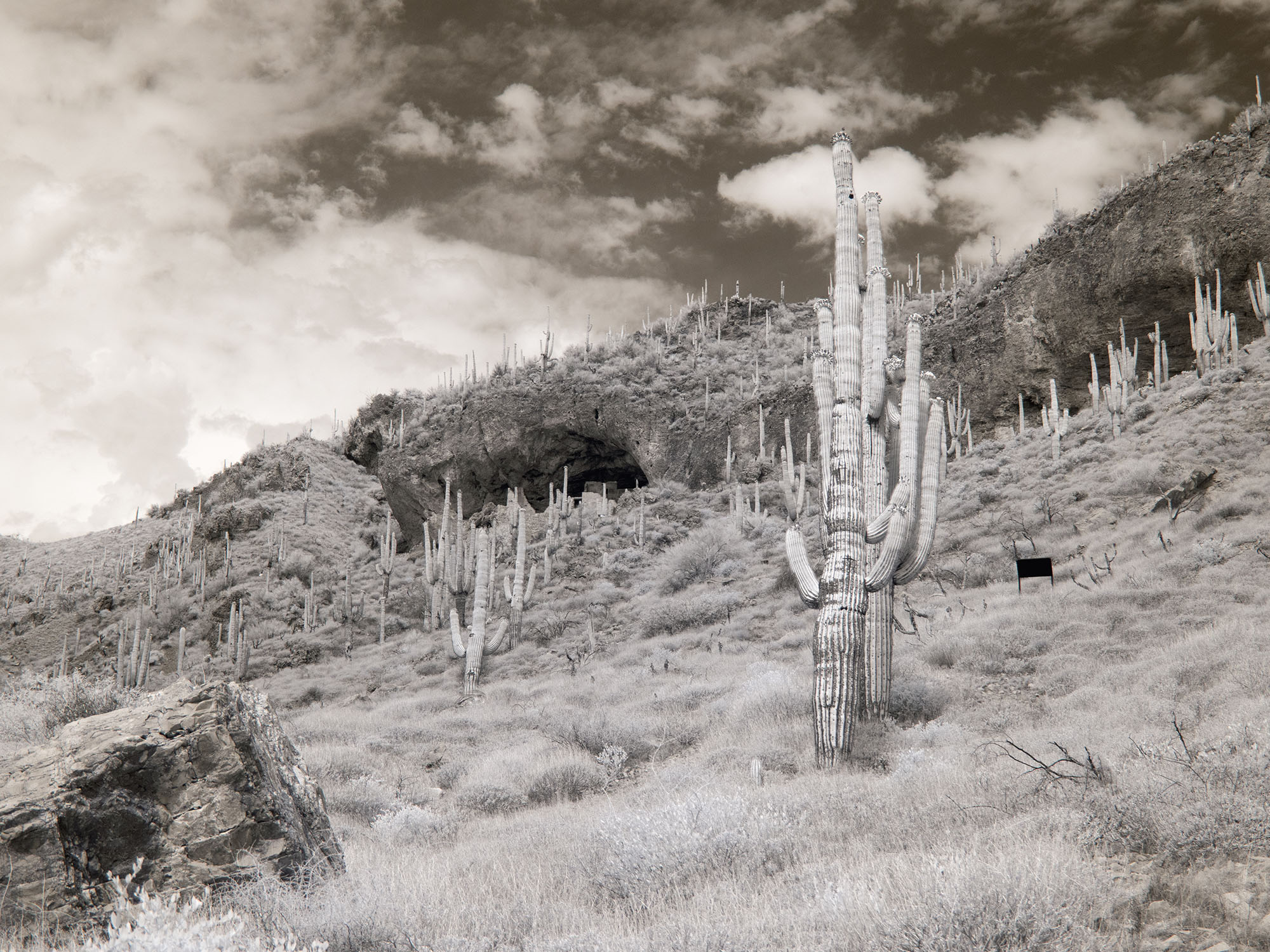 Infrared photo looking up at the Lower Cliff Dwellings.